Youth Rock Climbing Camps are open for booking!


Mount Rainier is extraordinary. At 14,411 feet Mount Rainier is the third highest peak in the lower 48 states and arguably the most massive, high alpine peak. We will climb Mount Rainier via the Emmons Glacier for a more enjoyable experience away from the crowds. We also have the option of climbing the Kautz Glacier if a group is committed to obtaining the permits one to two years ahead of time. These routes are slightly more advanced than the standard Disappointment Cleaver Route.
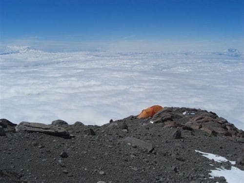

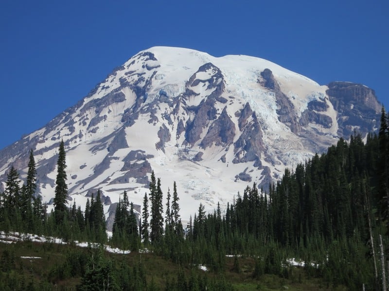
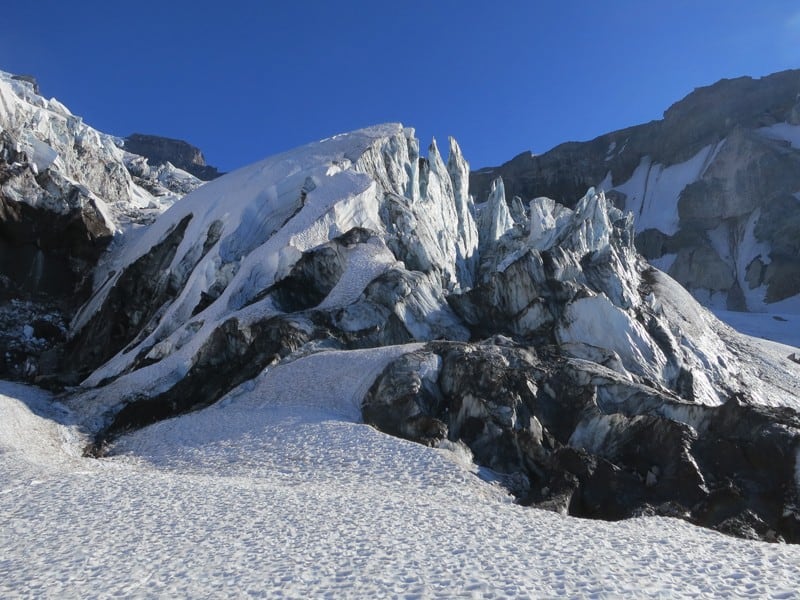

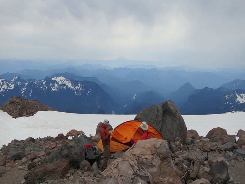
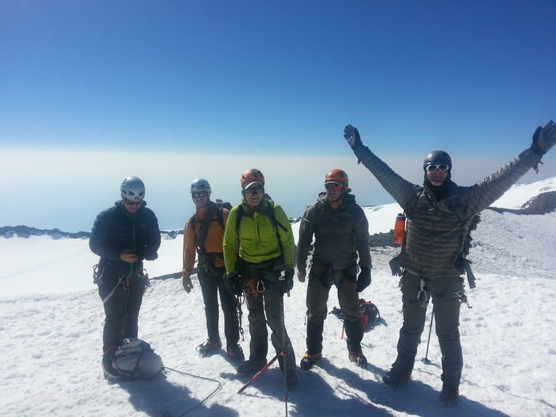

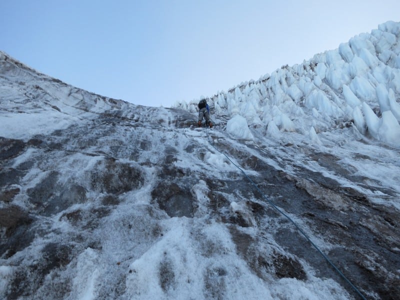
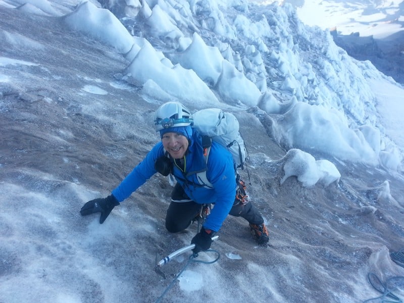
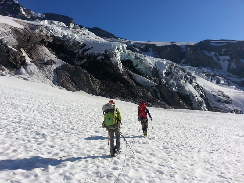

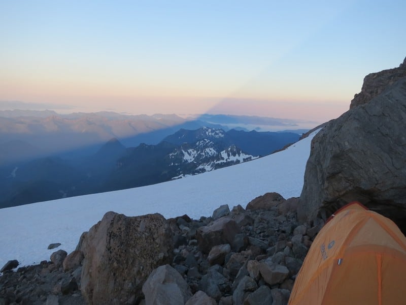
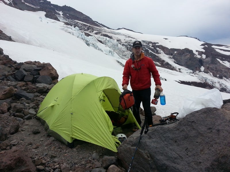
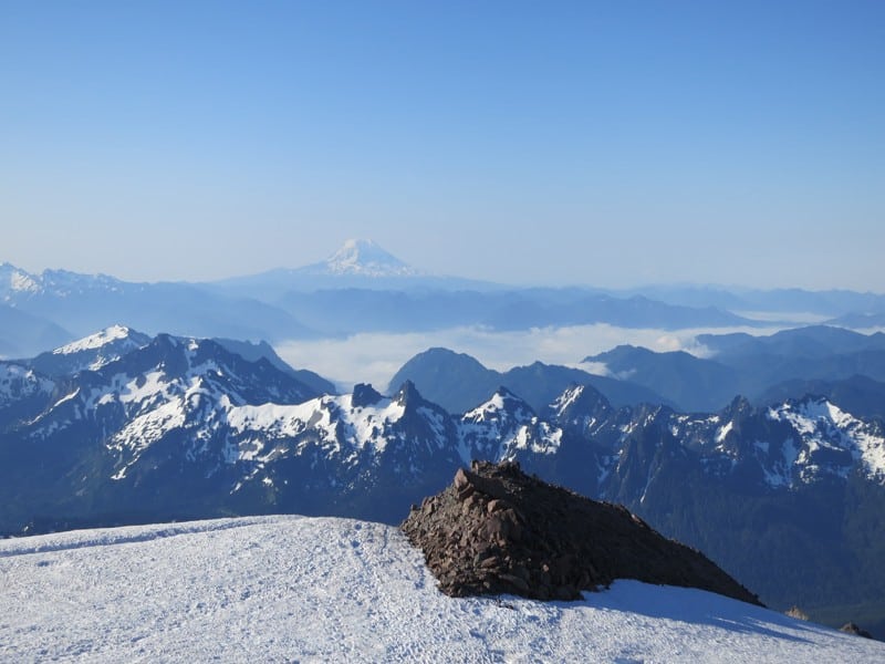
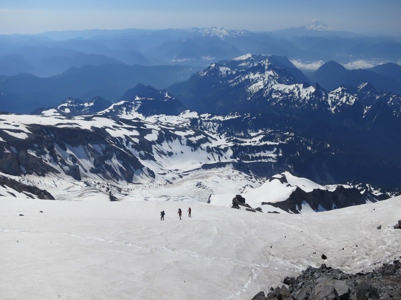
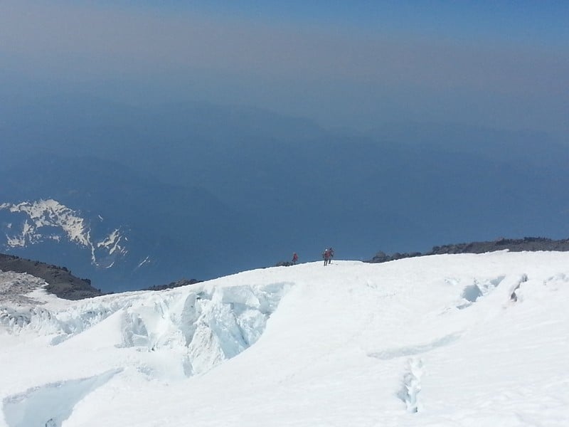
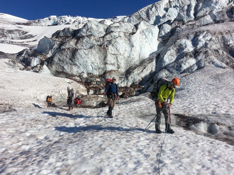


Mount Rainier is extraordinary. At almost 14,400 feet it is the third highest peak in the lower 48 states and arguably the most massive, high alpine peak. We will climb Mount Rainier via either the Kautz Glacier or the Emmons Glacier for a more enjoyable experience away from the crowds. These routes are slightly more advanced than the standard Disappointment Cleaver Route.
Are you ready for the experience of a lifetime in the Washington Cascades? Come join us!
We can not overstate how important it is that you are in the best possible physical condition for this climb. The Kautz Glacier route has the same elevation gain as the standard Disappointment Cleaver route, but is more technically demanding. The Emmons Glacier route is less technical than the Kautz Glacier route but covers significantly more distance and has more elevation gain. The route we take will be determined by the park service when we are issued our permit.
July 1-4, 2024: Emmons Glacier Route (night 1 at Camp Curtis, nights 2&3 at Emmons Flats)
June 30-July 3, 2025: Emmons Glacier Route (night 1 at Camp Curtis, nights 2&3 at Camp Schurman)
Prior mountaineering experience and solid cramponing skills are a must.
Overall difficulty: Very difficult
Skills: Prior mountaineering and glacier travel experience and solid cramponing skills are required.
Fitness: Very good physical fitness: You MUST be able to hike or climb for 6 to 8 hours with a 45 pound pack, and ascend 4000 to 4500 feet of vertical gain per day for 2 to 3 consecutive days. Climbing a 14,411 foot glaciated peak is very strenuous and it does not compare to an average hike at lower elevation. You have to train for this climb if you want to optimize your chances for success.
We will schedule an information night about 6 weeks prior to the climb to go over training, nutrition, equipment, etc. We will also do gear checks a week or so before the climb. If you do not live near our shop, we can set up these sessions over the phone or via Zoom.
Possible Itinerary for the Emmons
Day 1: We will meet at the White River Campground on the northeast side of the park and conduct a gear check. Then we will hike 3.5 miles and 1,650 feet of elevation gain up the relatively mellow and incredibly scenic Glacier Basin trail to Glacier Basin Campground at about 6,000 feet where we will make camp for the night. It shouldn't take more than 2.5 hours to get to camp, allowing plenty of time to get to the meeting location in the morning, thoroughly enjoy the scenic hike in, and get a solid night of rest for the next 3 days.
Day 2: We will pack up and climb up the Inter Glacier to Camp Schurman at about 9,500 feet. The higher you go up the Inter Glacier the more spectacular you realize Glacier Basin is, then all of a sudden you pop up at a point where you have incredibly stunning and seemingly very up-close views of Mount Rainier and the Emmons route itself. We will either go to the top of steamboat prow and downclimb 3rd class rock, or rope up and swing around on the lower Emmons Glacier to access Camp Schurman. It should take about 5 or 6 hours to get to Camp Schurman.
Day 3: Summit day. We have to get up and get going in the dark so we can be back at camp before the heat of the day. We rope up in camp and start up and left to reach the bottom of "the corridor," which provides for a steady climb straight up to about 12,000 feet. At the top of the corridor the route can vary widely from year to year, either going left and up or right and up to the crater rim. Some years it traverses fairly far to the right to the saddle between Columbia Crest and Liberty Cap, then climbs to the crater rim from there. From the crater rim we wrap around to the southeast side of the crater to reach the true summit at 14,411 feet. It is a lot of elevation gain and can take 6-8 hours to reach the summit. After hugs and high-fives we descend back to Camp Schurman (the descent usually takes about half the time of the ascent), where we will enjoy our well-earned rest.
Day 4: We will pack up and begin our journey back to the cars. If conditions are right, we will enjoy over 1,500 feet of glissading down the Inter Glacier (a fancy way of sliding down on your bottom). This can be the most enjoyable and memorable part of the whole climb! We will then walk out through 3.5 miles of lush rainforest and return to our cars at White River Campground.
Possible Itinerary for the Kautz
Day 1: We will meet in Ashford just outside the National Park, conduct a gear check and then commute up to the Paradise Parking lot. We will hike up past Panorama Point, cross the lower Nisqually Glacier, up the Wilson Gully and on to about 8500 feet on the Wilson Glacier. It should take no longer than 5 hours to get there and leave plenty to enjoy this spectacular zone.
Day 2: After a more leisurely start we will pack up and climb up the Turtle Snowfield and establish another camp at around 10,900 feet a few hundred feet below Camp Hazard. This will put us in a perfect position for our summit day. The rest of the day is dedicated to resting and hydrating. We call this day an "active rest day." This extra day at moderate altitude makes a huge difference in acclimatization.
Day 3: Summit day. We have to get up and get going in the dark so that we can get up and out of the Kautz Chutes. From there the route will take us across the upper Kautz Glacier then across the Wapowety Cleaver to the upper Nisqually Glacier. From there we climb on to Columbia Crest summit at 14,411 feet. If all is well, we should be on the summit in the middle of the morning (average ascent time is about 5 hours) and back in our camp below Camp Hazard by early afternoon at the latest. On average the roundtrip time from Camp Hazard takes about 9 to 10 hours. After a well deserved rest we will pack up and move our camp back down to the Wilson Glacier camp at 8400 feet.
Day 4: We will pack up and return to Paradise via the Wilson and Lower Nisqually Glaciers. This is a very entertaining and spectacular way back down the mountain. We should be back in the Paradise parking lot in the late morning.
Some basic mountaineering experience is highly recommended. Very good fitness is even more important.
No, you are responsible for your own food. We are glad to help with food suggestions though. We do provide tents, stoves, and fuel.
Most people find a 50-60 liter pack works well.
Although tipping is not a requirement, it is considered standard practice in the guiding industry and is appreciated by our guides. We generally recommend roughly 10%-15% of your course or trip cost or a flat amount that you are comfortable with.
